
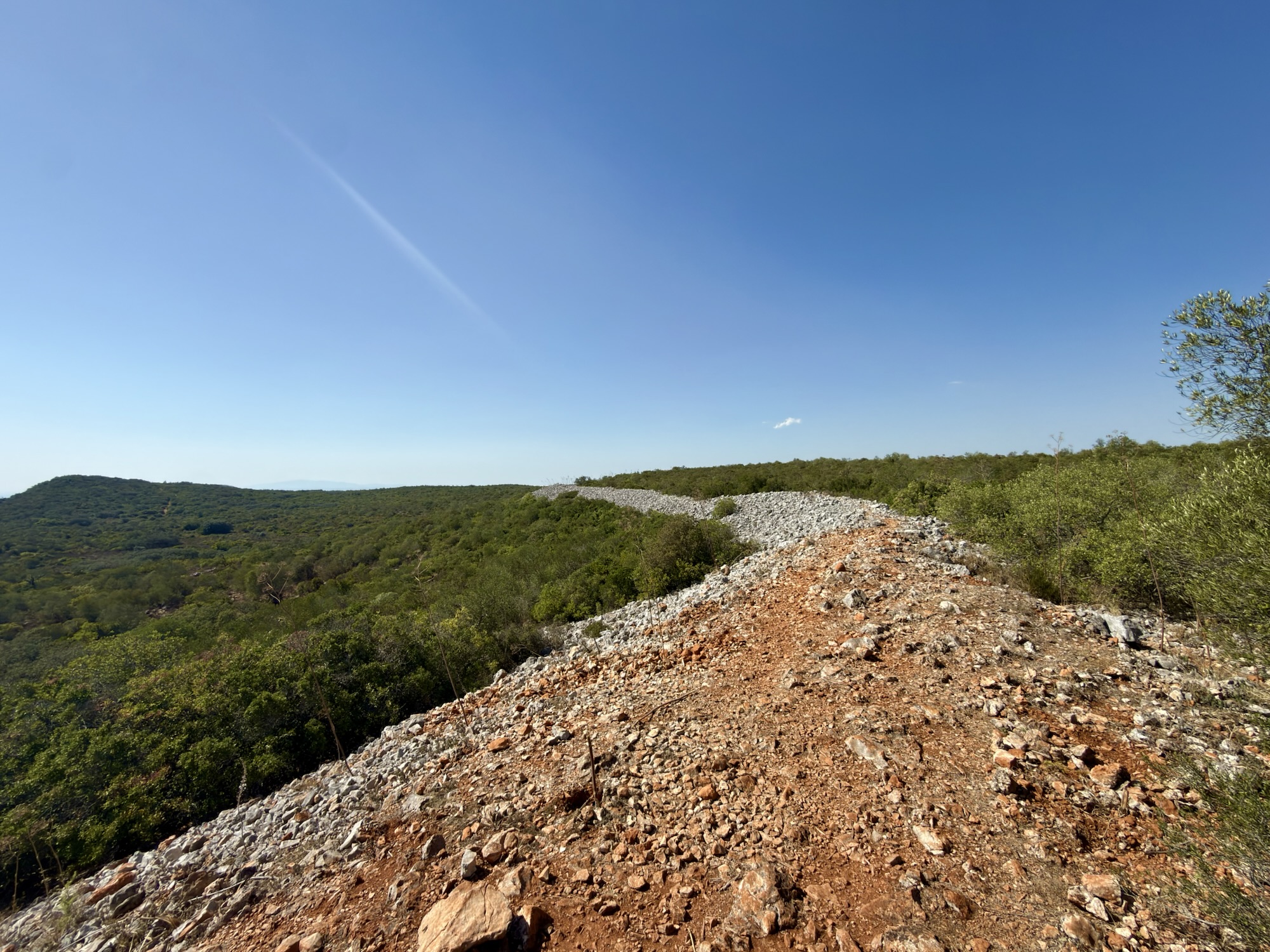
Rocha da Pena is a protected natural landscape and prominent table mountain located in the Algarve, near the town of Salir. Rising to bout 479 meters above sea level, it is one of the tallest mountains in the region. It features a plateau roughly two kilometres long. At the top, there are two stone walls, possibly from the Iron Age, used by the Moors as a hiding place during the reconquest of Portugal. All of these are interesting facts about our destination today. They contributed to us choosing to go and visit. Really, however, it was the best mountain hike we could find within a reasonable distance that didn’t require us to set an alarm at the wee hours of the morning. It promised views, a good trail, some elevation gain and its 11-kilometre trail could be hiked in under 4 hours, leaving us plenty of daylight even if we left in the late morning.
We got up, showered, slathered ourselves in sunscreen in preparation for spending most of the day outside and headed out for breakfast at 📍Café Tinto. The coffee and sandwiches were delicious as before, with the ever-polite and helpful Canadian small talk.
The trailhead was an hour’s drive north. There wasn’t much on the road other than a little bit of traffic. The trailhead is conveniently located next to a bar (really a café). As it’s outside the town of Pena (a 30-minute walk or a 5-minute drive away), I would assume the people doing the trail are a significant portion of their business. The trail itself is easy to follow if not marked that often. We have to give it to the trail maintainers if there’s a barbed-wire fence on one side and prickly fauna on the other; we don’t really need marking at regular intervals to follow the trail. Doing anything else would lead to flayed skin. The views on the trail, once we reached above 300m altitude, were pastoral and beautiful. We’re clearly in farm country. We started seeing more blazes and signposts once we came out into the charming village of Penina (the small Pena?). The prickly bushes would have been sufficient to keep us going in more or less the right direction, but as we reached the summit, the bushes got further apart, making it a safe bet. At the summit we met a long line of piled rocks and a sign explaining it’s the Iron Age “wall”. If you had given me a hundred guesses, I would not have guessed that. I would have mistaken it for a geological formation. Overall, it was a beautiful hike that balanced the more coastal focus one gets in the Algarve region.


We concluded our last hike of the trip by drinking some sparkling water at the trailhead bar before heading home. We stopped at the grocery for some fruit and set up on the roof terrace to watch the sun set on Olhão for the last time this trip.

Dinner was at 📍Alma. Close to the water, on the one busy street in town. It’s a fairly new restaurant (Apple Maps doesn’t know about it yet, and Street View shows the place is for sale). We were unlucky with our order, and it got “lost”. Our first half hour there was spent waiting in the hope of the couvert (bread and olives). Once we had reminded our server that we existed, our order was taken again, and we started receiving food. Overall, it was good. Not extraordinary and not at the level of our first meal in the city, but good enough.
Tomorrow we’re heading to Lisbon. We might not be hiking for the rest of the trip, but we will be going up and down hills repeatedly. Depending on whom you ask, you’ll get a different number of hills in the city. Some will say seven, others eight. It probably depends on whether they are more historically or geologically bent.